Glacier National Park
June, 2003
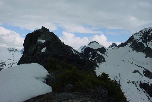
| Abbott Ridge and Abbott Peak in the distance. The route followed the ridge. I came up from the left side, which is a pretty steep cliff, but with nice ledges for scrambling. To get down, I had to dig a ledge out of the snow. (Climbing up was easier because I could just kick steps in the snow). |
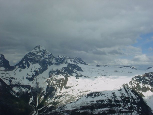
| The Witch Tower, a mountain at the end of Illecillewaet glacier. That is a huge glacier stretching over an entire plateau, covering the area between Mt. Sir Donald and The Witch Tower. It's difficult to get a sense of the scale from the pictures, but that's almost six miles of glacier. It's not unusual for a glacier to be six miles long, but a glacier six miles wide, that's something else. |
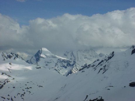
| Mt. Sir Donald, 3284m. Part of Illecillewaet glacier visible on the right. |
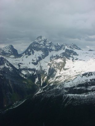
| Mt. Sir Donald again. There were great views of this mountain almost the whole way. |
Back to trip