Liberty Ridge on Rainier
June, 2003
Ryan and I got to Glacier Basin first, Sunday afternoon. We did some crevasse rescue practice up on a nearby snow slope. We also experimented with snow anchors. We would set up an anchor at the top of the slope, then one of us, taking turns, tied into the anchor with about fifty feet of slack and slid down the slope. The results were interesting. It was towards the end of the day and maybe 1500' from the snowline, so the snow was soft.
- First we did a picket, pounded in, 'normally,' meaning we didn't do anything in particular to strengthen it. This came out fairly quickly, although I did slow down -- it might be enough that if I had been trying to self-arrest, it would have given me the necessary margin to secure myself. I would not count on that kind of picket to stop a fall.
- Then we did a bollard. It was a small one, about the size of a large, round tray. This didn't do any good. Ryan reported that he felt it, but it didn't seem like it slowed him down much.
- Next we tried a picket, pounded in again, but first we stamped the snow down where we placed it, and we covered the top of the picket with snow and tapped it firm. It took considerably longer to place the picket this way, though still less time than the bollard. The result was an amazing difference; the picket stopped me dead cold. In fact, I stopped so fast the rope kind of burned my crotch -- somewhat idiotically, I didn't pay enough attention to how the rope was running as I let myself shoot downwards.
- Then we tried some crevasse rescue. It had been years since I did this, and knew I would be rusty, but I figured it would come back to me. The individual pieces of it did, but it was difficult to reconcile some of the individual mechanisms into a coherent procedure. This highlighted that it's important to stay up on these skills.
Tom found our camp while we were up playing around.
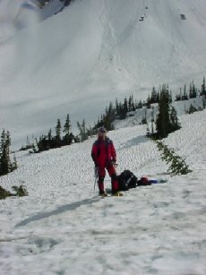
| Ryan in camp. |
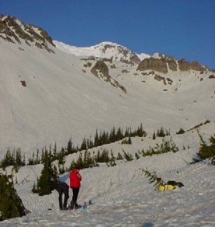
| Tom and Ryan in the camp the morning we left. The route starts off going up to the right, and hits the ridge beyond the glacier, just to the right of the rocks visible in the rightmost skyline. |
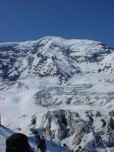
|
Liberty Ridge This is the route. It crosses carbon glacier, in the foreground, with lots of big crevasses. We get onto the ridge on the right side of the toe of it, visible in the center of the photo. We follow snow and dirty scree up to Thumb Rock, about half way up the ridge. There was some discussion whether Thumb Rock is at 10,700' or 10,400'. Next morning, we went almost straight up from there, gained the edge of the ridge, where we roped up for the more technical part of the climb -- this part is the steep snow slope to the left of the top of the ridge, below the higher icecaps. You can even see the bergschrund we had to cross at 13,500' -- see below. Willis Walls fills the left center of the photo. Just before getting to Curtis Ridge, we met a party heading out. We were surprised to see them leave, seeing as the conditions could hardly be better. However, when we later realized they probably had spots reserved at Thumb Rock, we were glad because it meant we could move to the higher camp. We had originally been designated to the Carbon Glacier; but camping there is no better than what it looks like in the picture. |
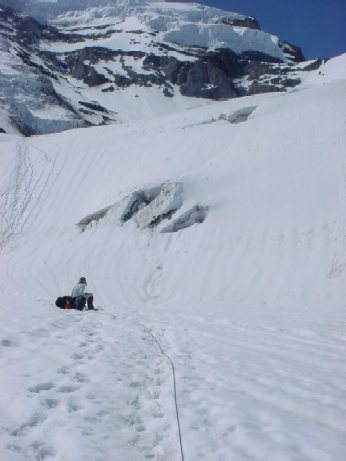
| Taking a rest hiking up Carbon Glacier. |
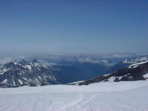
| View the opposite way down Carbon Glacier. Curtis Ridge visible on the right. |
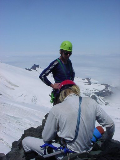
| Here we are on the ridge, taking a rest from the abominable scree. |
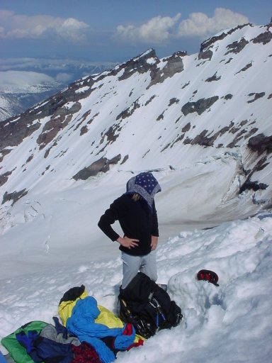
| This is Ryan at our camp site at Thumb Rock. We were lucky that the three we passed earlier left us the spots. There were good views to both sides of the ridge. Thumb Rock loomed above us, and it looked ready to dispense some hefty chunks right into our sleeping bags. I never heard of rock fall accidents at Thumb Rock, but it doesn't look all that promising. |
|
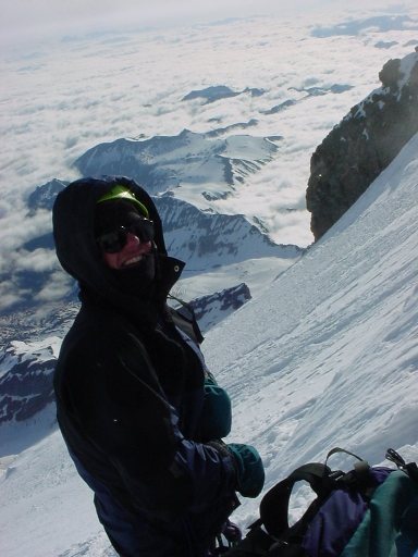
Tom on the route. Here, we are on the technical part of
the route, probably around 13,000'. Shortly after this, we
got to the (in)famous bergschrund. The winds were picking up good at this point, and only getting worse as we ascended. |
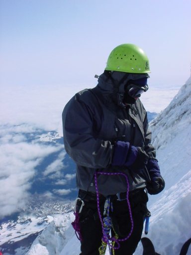
| This is I, after we passed the bergschrund. It was a 15' section above a crevasse. It was overhanging just as we got onto it, then above the snow was soft. I led the section, and had to do some inventive stemming moves in the snow to get through it. I came off when first trying it, but landed on the thick lip of the crevasse, rather than going into the abyss. Tom was belaying me, and the crevasse was leaning, but I still didn't fancy going in. My fingers were hurting from working the axes in the cold at 13,500'. After I got up, I had to take a couple of minutes to let the fingers recuperate. I remember feeling pretty good about myself at this point. |
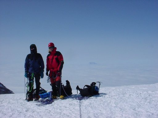
| Tom and Ryan on Liberty Cap. Mt. Adams in the background. Moving from Liberty Cap to Columbia Crest, the true summit, is a trudge -- you lose a couple hundred feet at least, so there is about 600 feet to gain, but the worst part is that you have to hike about a mile across the glacier up there. |
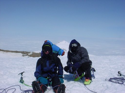
| Tom and Henri on Columbia Crest. Liberty Cap in the background. The winds were fierce, and even squatting, it was a chore to stay balanced. Probably gusts to eighty mph. |
|
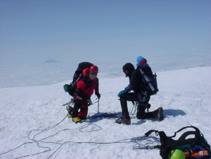
Ryan and Tom on Columbia Crest.
Mt. Adams in the background. (The winds are more obvious
in this picture...) After this, we quickly retreated to find a sheltered spot. Then down beautiful Emmons Glacier, Camp Sherman which we bypassed, and Glacier Basin where Ryan and I hung out for half an hour before taking on the last four miles out. |
Back to trip