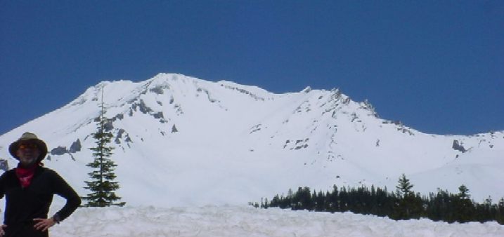
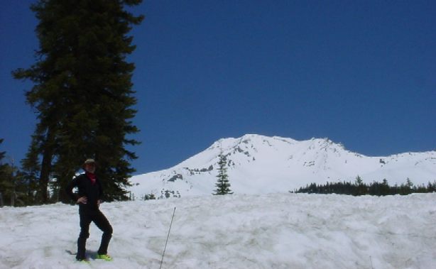
Shasta, Green Butte Ridge
May, 2003
 |
On May 19, 2003, I climbed the Green Butte ridge route on Shasta.
After a restless night on Sunday, I got up at around 1am and got
ready to climb. The snow conditions were perfect and I made good
progress. I didn't meet a single person until I was just below
the summit. Appearently, nobody had summitted over the weekend,
which I found odd.
The temperature was pleasantly cool, probably in the twenties
when I started hiking, and cooling off to the teens as I was
ascending and gaining elevation. The winds blew fiercely up
above 9,000'. At some point, while I was resting, it picked up my
pack and started moving it across the snow. This was a bit
disturbing with 1,000' of 30-degree snow below me.
I was at the summit around ten am. The Green Butte climb was
my favorite Shasta route so far -- my other climbs were Avalanche
Gully and West Face Gully, respectively. The Green Butte had some
interesting sections near the top of the ridge, where it joins
Sargeants Ridge. I had to do some routefinding and encountered
some exposure.
There were great views that morning. I could see Lassen, the Klamath Mountains, Thompson Peak/Trinity Alps, Mt McLoughlin up north in Oregon, and of course, the immediate surroundings such as Shastina Lake and Black Butte.
There were great views that morning. I could see Lassen, the Klamath Mountains, Thompson Peak/Trinity Alps, Mt McLoughlin up north in Oregon, and of course, the immediate surroundings such as Shastina Lake and Black Butte.
On the way down, I stopped by the vent near the summit and
took some pictures. It made quite a lot of noise, suprisingly.
Like a pot boiling heavily.
I descended Avalanche Gully, and it wasn't
as easy as I thought to get back on Green Butte, because the
snow was partly slushy and partly icy -- not perfect with or
without crampons. At some point I started sliding and had to
arrest myself with the axe. I didn't get back on to Green
Butte until about 9,000'. Another time I would probably decide
to stick to Green Butte all the way down.
Pictures for your pleasure:
Green Butte Ridge Route
Halfway, view down from about the 10,500' level
Castle Crags and Klamath Mountains
Shasta's Shadow, with Black Butte totally eclipsed by it, looked pretty awesome.
View East from around the 11,000' level
On Top, viewing SE
On Top, viewing W
View North from summit
Climber Approaching above Misery Hill
Climber, second shot. Lake Shastina in background.
Shasta Vent
Vent Again
Vent Yet Again

| |
Back to Climbing.